Después de dos días de intenso calor las temperaruras bajarán un poco este fin de semana. La próxima semana se tendrá máximos casi normales. También hay una pequeña probabilidad de tormentas eléctricas aisladas este fin de semana.
Bajan las temperaturas, continúa el calor con ráfagas de viento y probabilidades de lluvia en varias partes del estado
Las temperaturas bajarán después de dos días de extremo calor, incluso pueden haber tormentas eléctricas en algunas áreas al sur y norte del estado.
Video Se espera mucho calor con algunos nublados parciales para este viernes en Arizona
A cooling trend begins today with above normal highs through the weekend and near normal highs by the middle of next week. There's also a slight chance isolated thunderstorms this weekend especially over the higher terrain outside of #Phoenix. Drier and breezy by Monday #AZWX pic.twitter.com/KvbE2n2vBn
— NWS Phoenix (@NWSPhoenix) May 8, 2020


Por el sur de Arizona podrán presentarse tormentas aisladas, el clima no será nada parecido al calor del miércoles y jueves.
A few storms around today with temperatures not quite as hot as Thursday. Watch for some gusty winds and blowing dust near the stronger storms. #azwx pic.twitter.com/VFWVok1aFe
— NWS Tucson (@NWSTucson) May 8, 2020
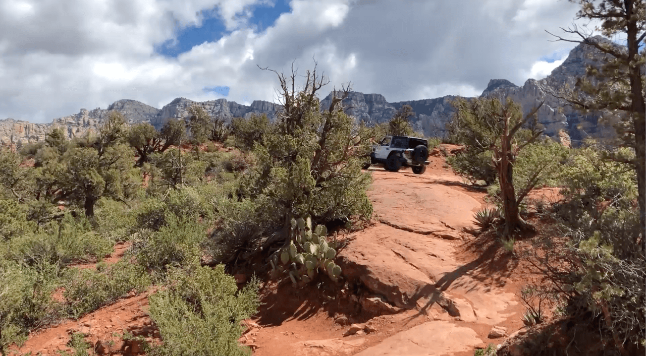
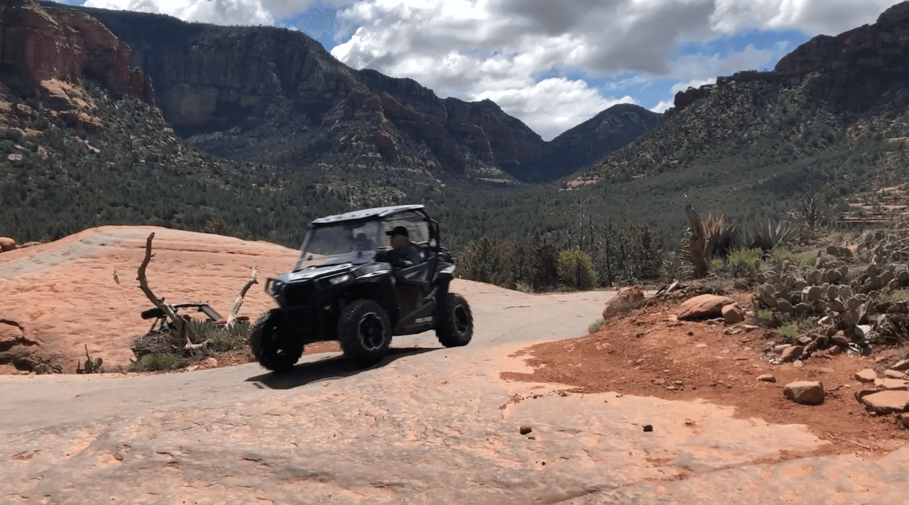
En el norte del estado será otro día de temperaturas muy cálidas y vientos por la tarde. Algunas lluvias y tormentas eléctricas son posibles a partir del sábado, especialmente para áreas de terreno más alto. La mayor posibilidad de lluvias y tormentas eléctricas este fin de semana será el domingo.
Today will be another day of very warm temperatures and breezy afternoon winds. A few showers and thunderstorms are possible beginning Saturday, especially for higher terrain areas. The greatest coverage of showers and thunderstorms this weekend will be Sunday. #azwx #AZFire pic.twitter.com/w379Vj7fai
— NWS Flagstaff (@NWSFlagstaff) May 8, 2020
Esto te puede interesar:
Notas Relacionadas

Coyotes funerarios en tiempos de coronavirus: lo que debe saber del nuevo fraude en México
N+ Univision Arizona
3 min
Relacionados: